Wildfire News
‹ All PostsOctober 2026: Fifteen Fire Footprints. Nearly 400,000 Football Pitches.
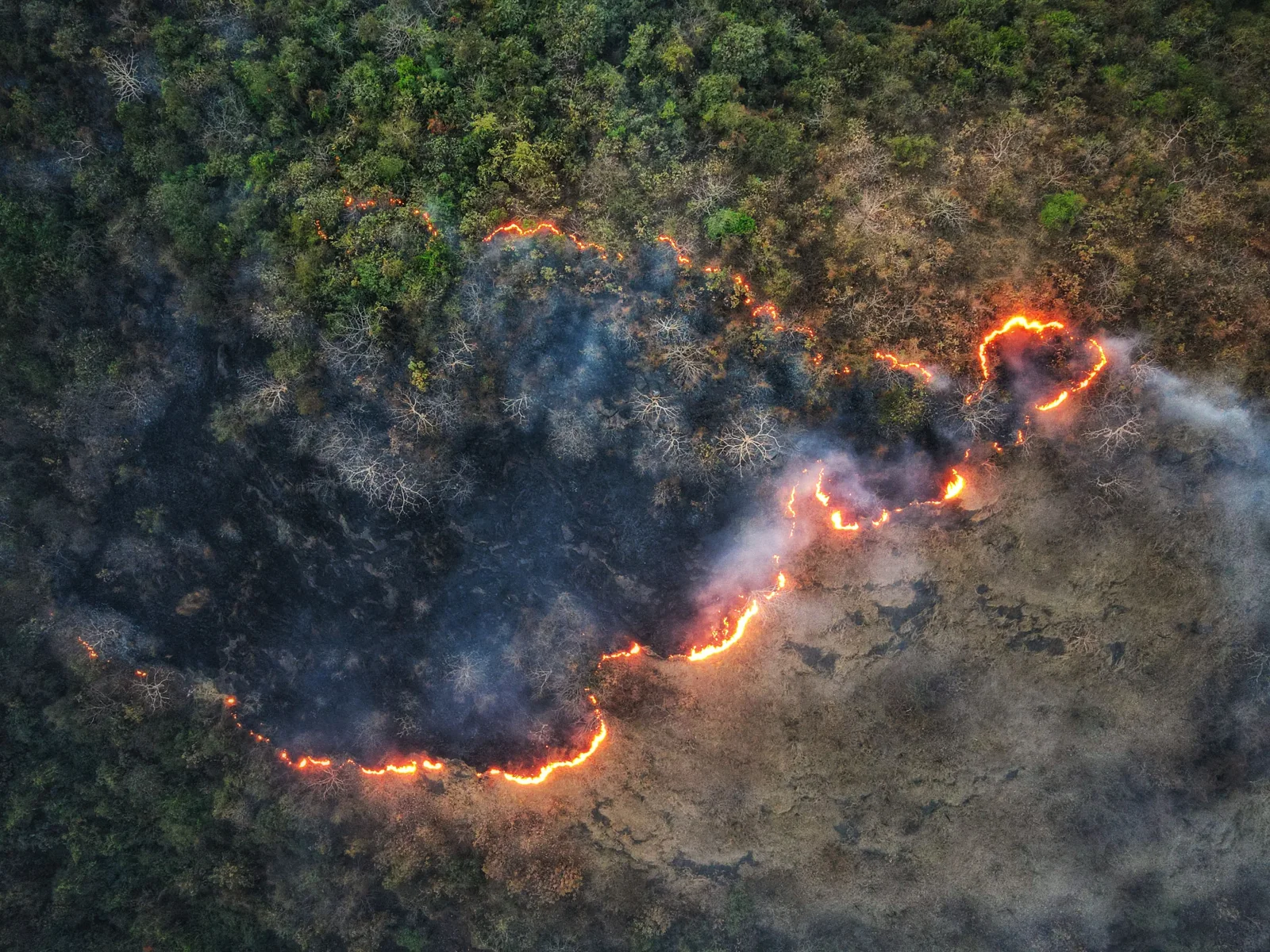
Illustrative stock photograph; it does not depict any of the fifteen events in this review. Photo: wirestock / Envato.
A football pitch is easy to picture. Now try 396,000 of them.
That is the area equivalent of 282,646 hectares reported across the 15 selected October fire events in this review. Their locations span 17 countries across four continents. The figures come from the Global Disaster Alert and Coordination System (GDACS), using satellite-derived fire perimeters from the Global Wildfire Information System (GWIS).
This is a selection of reported fire footprints, not the world’s total for October. Each selected event has its first and last recorded thermal detection within 1–31 October 2026. The areas are estimates, and a perimeter does not tell us how severely every hectare burned.
A different way to see the scale
Our August review used a square to make a large footprint visible. September’s review put U.S. year-to-date acreage alongside reports from other regions. This time, the reference is a playing field.
For this one, take a pitch measuring 105 metres by 68 metres. The playing surface covers 7,140 square metres, or 0.714 hectares. Dividing the selected events’ reported area by that surface gives approximately 395,863 pitches, rounded to 396,000. No stands, car parks or surrounding roads are included.
The comparison helps with size. It can’t tell a family how long they have to leave home. It doesn’t show how much of a perimeter was severely burned. And it cannot establish that October was better or worse than August: these reviews use different selections and reporting methods.
Fifteen October fire footprints
The table is ordered by reported area within this selection. The event references distinguish separate fires in the same country. Each links to its dated GDACS report; the dates run from first to last thermal detection, rather than giving a confirmed extinguishment date.
| Location | Reported area | Detection period, October 2026 | GDACS event |
|---|---|---|---|
| Mozambique | 37,078 ha | 16–29 October | 1033060 |
| Malawi | 31,111 ha | 16–29 October | 1033122 |
| Australia | 24,034 ha | 21–30 October | 1033141 |
| Australia | 23,743 ha | 22–29 October | 1033135 |
| Niger, Burkina Faso | 22,901 ha | 24–30 October | 1033245 |
| Mali | 22,111 ha | 21–29 October | 1033191 |
| China | 21,490 ha | 22–29 October | 1033183 |
| Tanzania, Malawi | 20,594 ha | 15–30 October | 1033034 |
| Chad | 16,158 ha | 22–29 October | 1033149 |
| Botswana, Zimbabwe | 14,853 ha | 22–29 October | 1033103 |
| Brazil | 14,157 ha | 16–31 October | 1033294 |
| Democratic Republic of the Congo | 13,755 ha | 1–11 October | 1032552 |
| Madagascar | 9,605 ha | 14–29 October | 1032971 |
| Papua New Guinea | 5,736 ha | 14–29 October | 1033216 |
| South Sudan, Sudan | 5,320 ha | 14–29 October | 1033243 |
The largest selected footprint is in Mozambique, at 37,078 hectares. Two separate Australian events account for another 47,777 hectares between them. Cross-border entries are counted once, even when GDACS lists more than one country.
The fires a large-area list can miss
GDACS generally includes automatically identified fire events once they reach 5,000 hectares, while smaller fires may be added when their humanitarian consequences warrant attention. Its methodology makes clear that not every GWIS event enters the system. A list drawn from it will miss many smaller fires.
October’s Amazon reporting shows why even satellite observations need care. In an assessment published on 15 October, NASA described fires and smoke around Manaus and Santarém. Researchers estimated that 50–70 uncontrolled fires were burning around Santarém alone. That dated regional estimate is separate from the 15 GDACS events selected here.
NASA also explained that dense smoke and tree canopy can hide lower-intensity fires from satellite sensors. The absence of a bright detection is not proof that the ground is safe. A forest may still appear green above a fire moving through its understory.
A quieter map still leaves work to do
In the United States, NIFC’s 30 October report recorded 67,457 fires and 9,387,979 acres since 1 January. Its acreage stood at 146% of the ten-year average for that date. Those figures describe the U.S. fire year, not October alone, and are not included in the selected-event total above.
A monthly review needs to hold both views: the large footprint accumulated over a season and the smaller incident that still requires an immediate decision. Area alone cannot tell an operator whether a road is usable or whether another aircraft can safely approach.
For response teams, a useful observation needs a time and a location. Someone has to assess what is threatened, authorise an appropriate response and check the result. A quieter shift can still leave residual heat for the next crew. The handover has to account for it.
PRAESI is developing an operator-supervised wildfire-response system with human authorisation and outcome verification in its intended response chain. October’s reports reinforce the problem that work addresses. Seeing a fire is the beginning of a response; knowing what happened after intervention is part of finishing it.
Frequently asked questions
Were there only fifteen fires worldwide in October? No. These are fifteen selected GDACS fire events across four continents, not a census or a ranking of the world’s largest fires.
Did all 282,646 hectares burn during October? The selected events’ recorded detection periods fall within October. Their reported areas are satellite-derived estimates, not a precise calendar-month measurement of newly burned land.
Does a last detection mean the fire was extinguished? No. It records the last thermal anomaly in the cited report. It does not certify that crews had put out every hotspot.
Can this total be added to August’s or September’s? No. The selections and methods differ; September’s headline was a U.S. year-to-date figure. Adding them would produce a misleading total.
Read More / Sources
- The fifteen dated GDACS / GWIS event reports are linked individually in the table above.
- GDACS forest-fire methodology: event selection, satellite-derived perimeters and alert thresholds.
- NASA Earth Observatory: Fires Arrive in the Amazon Rainforest, 15 October 2026.
- National Interagency Fire Center: U.S. National Fire News, 30 October 2026.
- IFAB, Law 1: football-pitch dimensions. The comparison uses a specified 105-by-68-metre pitch; actual pitch sizes vary.
Sources and methodology
Prepared on 5 November 2026 for the October retrospective. This geographically varied selection uses fifteen distinct GDACS event IDs with first and last detections within October. It does not claim a complete global burned-area estimate. Country counts include each named country once; cross-border events contribute their area once. Reported areas are summed as published and may be revised with remapping. The sum is not a deduplicated global land-cover or burn-severity assessment. Events whose latest report extended into November were excluded.
The selected areas sum to 282,646 hectares, equivalent to 2,826.46 square kilometres. For the comparison, 282,646 ÷ 0.714 = 395,862.75 pitches, rounded to 396,000. The separate U.S. year-to-date figures and NASA’s regional fire estimate are not added to that total.