Wildfire News
‹ All PostsAfter the Norte Fire, San Clemente Faces the Next Hazard
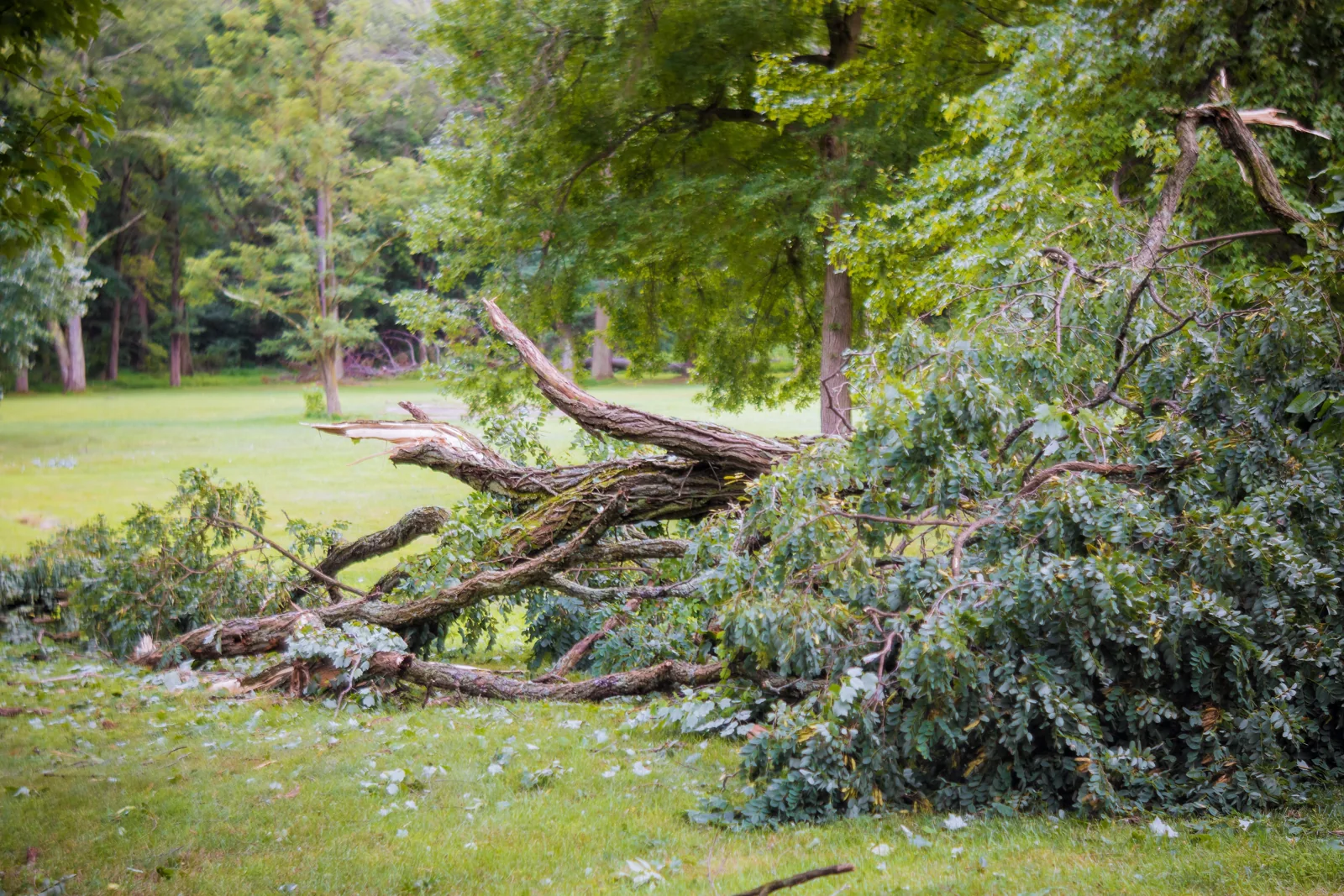
Illustrative stock photograph, not a photograph of the San Clemente incident. Photo: photovs / Envato.
San Clemente was still recovering from the Norte Fire when damaging thunderstorm winds brought down trees at its municipal golf course on 21 October. The next day, a National Weather Service survey found that the damage was likely caused by straight-line winds. A tornado was not the explanation given by the survey.
For a community recovering from wildfire, that distinction matters. So does the larger question: what happens when the weather changes before recovery is finished?
What the storm survey found
The NWS San Diego report, issued on 22 October, placed the damage about two miles south of San Clemente at around 6 p.m. the previous evening. Surveyors found snapped branches and an uprooted tree pushed towards the northeast, in the same direction as the storm’s movement. Radar data suggested winds may have exceeded 50 miles per hour.
That is an estimate from radar, rather than a ground measurement at the golf course. The wording is worth keeping intact. The city separately confirmed the loss of several trees and said staff were removing them and evaluating repairs.
These were thunderstorm winds. They should not be confused with the Santa Ana winds that helped drive the Norte Fire several days earlier. The incidents affected the same community, but they involved different weather conditions.
Fire containment leaves work unfinished
In our previous report on the Norte Fire, the immediate concern was flames approaching homes. CAL FIRE’s incident page listed the fire at 570 acres and 95% containment in its update of 22 October at 10:07 a.m. The cause remained under investigation.
That is a dated fire-status update. It tells readers about progress on containment; it does not describe every hazard around the burned land.
San Clemente’s recovery notice says areas affected by the fire may face increased flooding, mudslide and debris-flow risks during rainy seasons until vegetation recovers. It asks residents to prepare evacuation routes and points them to Orange County’s guidance on erosion control after fires. The city’s notice also says the Norte Fire evacuation orders have been lifted. A return home is an important step in recovery. It isn’t the last one.
Rain changes the problem on burned slopes
The US Geological Survey explains why burned terrain needs continued attention. Loss of vegetation and changes to the soil can reduce the ground’s ability to absorb rainfall. Water can run across the surface, carrying loose material downhill.
A post-fire debris flow is a fast-moving mixture of water and earth, often carrying rocks or vegetation. Intense bursts of rain can trigger these flows, including during the first storm after a wildfire. People downstream can be exposed even when their own property did not burn.
That is the general hazard. It does not establish that a debris flow occurred at the Norte Fire or that the golf-course tree damage was related to the burn scar. Those claims would need separate evidence.
For emergency planners, the practical issue is keeping the burned area in view as forecasts change. A fire map remains useful after the flames recede, especially when it is read alongside terrain and rainfall information. Roads serving a neighbourhood may also pass below slopes that residents cannot see from home.
Keep the evidence with the alert
The San Clemente survey offers a useful lesson in how to communicate risk. The damage was visible. Its cause still needed checking. The eventual report set out what surveyors found and explained the limits of the wind estimate.
PRAESI is developing an operator-supervised wildfire-response system, with human authorisation and outcome verification built into its intended response chain. The relevance here is the discipline of keeping evidence attached to an incident as it develops. A report needs a location and a time. An assessment needs to say what was observed and what remains uncertain.
For residents, current instructions belong with the local authorities. San Clemente’s recovery page links to emergency alerts and practical resources for the next period of rain. Those updates can change after a news article is published.
Read More / Sources
- National Weather Service San Diego: local storm report, 22 October 2026, covering the 21 October San Clemente wind damage.
- City of San Clemente: tree damage at the municipal golf course, 22 October 2026.
- CAL FIRE: Norte Fire incident updates, including 22 October 2026.
- City of San Clemente: Norte Fire recovery information and post-fire erosion guidance.
- US Geological Survey: post-fire debris-flow hazards.
- Los Angeles Times: source report, 22 October 2026.
- PRAESI: Norte Fire coverage, 17 October 2026.