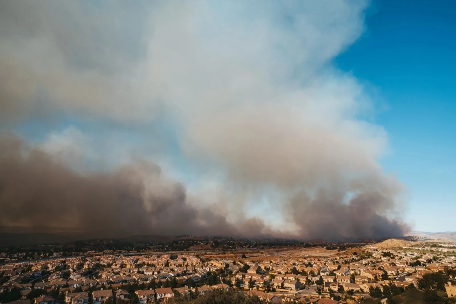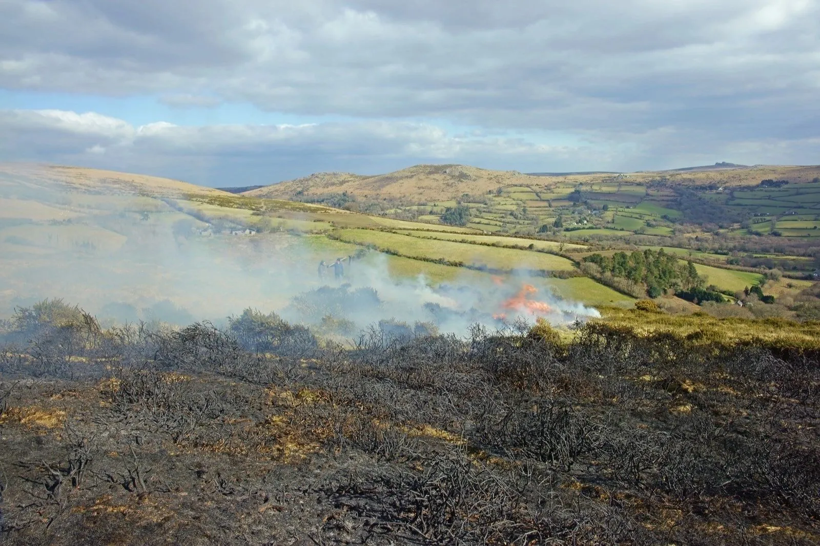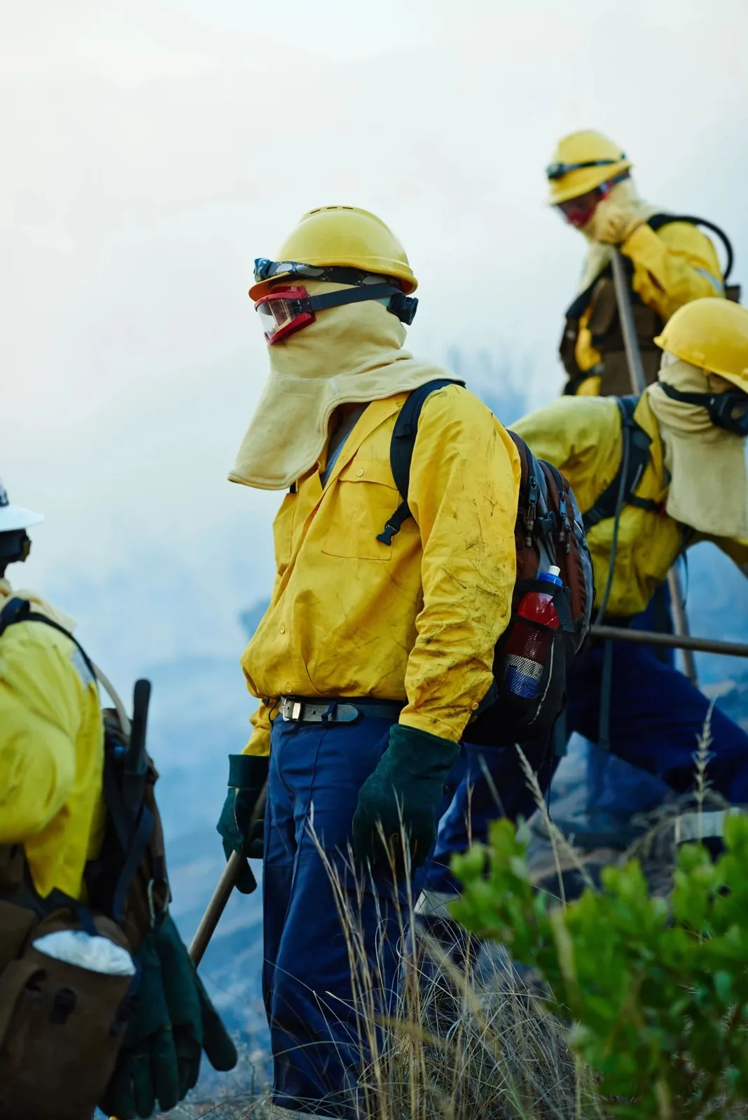
Wildfire News
‹ All PostsWhen the Ignition Cannot Be Entered: Lessons From Kalo Chorio
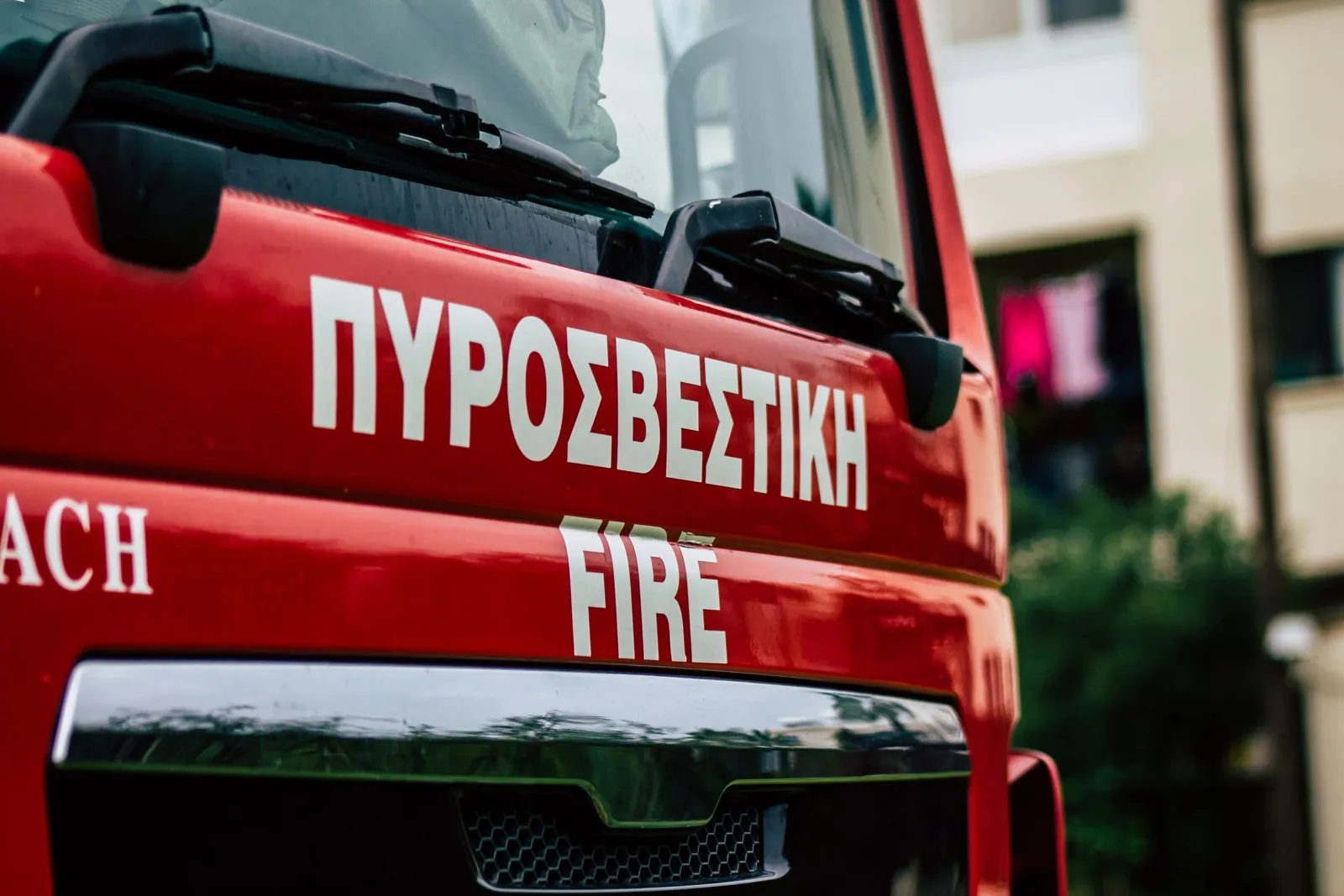
The fire began shortly after midday on 27 July 2026 inside the Kalo Chorio military firing range in Larnaca District, during National Guard activity involving the destruction of six discarded rocket-propelled-grenade projectiles. Explosions and the possible presence of unexploded ordnance prevented ground crews from immediately approaching the source. Strong winds then carried the fire beyond the range towards Agia Anna and Psevdas.
Precautionary evacuation instructions were issued for both communities. One volunteer was reported injured after falling while helping with the response, and the road between Kalo Chorio and Psevdas was temporarily closed to protect the public and preserve access for emergency resources. A large multi-agency operation involving firefighters, forestry personnel, Civil Defence, Police, National Guard resources, local authorities, volunteers and aerial assets eventually brought the fire under full control.
The later official assessment found that approximately 120 hectares had burned—six times the provisional figure carried in the first reports. No homes were reported destroyed, although properties and agricultural land were threatened and some crop damage was recorded.
The incident exposes a distinctive wildfire-response problem.
Identifying where a fire began is not the same as being able to reach it. When an ignition area contains explosive hazards or other restrictions, response depends on safe stand-off capability, aerial reach, current operational information, community protection and authorised human command.
What happened at Kalo Chorio
The fire was reported at approximately 12:40, following National Guard activity at the firing range. Initial reports described two active fronts burning through low vegetation, while strong winds carried embers into different parts of the surrounding landscape.
Ground crews faced a serious safety constraint. Fire Service and Forestry Department personnel could not immediately enter parts of the range because explosions were still taking place and unexploded ordnance could have been present. According to the Forestry Department director, those conditions allowed the fire to move beyond the area that crews could directly approach.
As the fire advanced, the operational priority shifted towards protecting Agia Anna and Psevdas. Authorities activated evacuation arrangements, closed a connecting road and established local and central coordination functions. A field coordination centre operated in the Agia Anna area, while wider coordination took place through the Zenon facility in Larnaca.
Later reporting described a reinforced response involving more than 200 personnel from public agencies and supporting organisations, together with six firefighting planes and five helicopters under the national aerial-response plan. Firefighters remained in the area overnight to address hotspots and possible flare-ups.
The Forestry Department declared the fire under full control at approximately 19:30. The final official burned-area estimate available at the reporting cutoff was approximately 120 hectares.
When firefighters cannot safely reach the source
Wildfire-response planning often assumes that crews can move towards the ignition area once the location is known.
Hazardous sites challenge that assumption.
A military range, industrial complex, ammunition area, contaminated site or other restricted environment may contain risks that are not visible through smoke or from outside the perimeter. Entering without specialist clearance can expose firefighters to hazards beyond the fire itself.
In those circumstances, refusing or delaying direct entry is not operational weakness. It may be a necessary responder-safety decision.
The response problem then changes. Authorities must consider what can be observed from a safe distance, which aerial resources can act within authorised limits, how communities outside the hazardous perimeter will be protected and when specialist personnel can confirm that ground access is permissible.
No technology removes the need for that judgement.
When the ignition zone cannot be entered safely, readiness depends on more than access. Aerial reach, operational visibility, community warning, assessment and authorised command must function as one connected system.
Restricted sites do not contain wildfire risk
A restricted perimeter controls people. It does not necessarily control fire.
Wind, smoke, radiant heat and airborne embers can move beyond fences, boundaries and administrative jurisdictions. A fire that begins inside a managed site can therefore become a civil-protection emergency for neighbouring communities.
That is what made the Kalo Chorio incident significant beyond the firing range itself.
Agia Anna and Psevdas were not inside the military activity area, yet both communities entered the emergency-response picture. Homes on the outskirts of Agia Anna were threatened, smoke affected the wider area, nearby roads required control and energy infrastructure—including wind turbines—was monitored as conditions developed.
Emergency planning for a restricted site should therefore extend beyond its legal boundary. It must consider neighbouring settlements, vulnerable residents, access routes, utilities, environmental assets and the public authorities that will assume responsibility once the effects move outside the perimeter.
Aerial response becomes more important—but not independent
When ground crews cannot approach safely, aerial resources may provide reach that is otherwise unavailable.
At Kalo Chorio, helicopters operated over difficult areas, while other aircraft made water and retardant drops intended to restrict the fire’s movement towards populated locations. The fully reinforced operation eventually involved several fixed-wing aircraft and helicopters.
Yet aerial capability is not independent capability.
Aircraft still require authorised tasking, airspace coordination, current weather information, awareness of personnel and assets below, safe operating parameters and a clear understanding of the intended objective.
They must also work within a continuing response cycle. After acting, an aircraft may need to return, refuel or recharge, reload, undergo checks and receive new instructions. Operators then need to determine whether it should return to the same location, support another part of the fire or remain available for further escalation.
The visible drop is only one part of the system. Readiness depends on what happens before it, what operators understand afterwards and how quickly the capability can be used again.
Warning communities beyond the perimeter
Restricted-access incidents require two kinds of visibility.
Responders need operational visibility over the fire. Communities need reliable visibility over what they are expected to do.
During the Kalo Chorio emergency, community leaders were contacted, church bells were used in Psevdas and Civil Defence personnel supported residents who required assistance. A CyAlert message was also prepared, but Civil Defence later confirmed that a technical fault delayed its transmission. The contractor subsequently apologised, said the issue had been resolved and reported that additional measures had been introduced to strengthen future reliability.
This does not mean local communication should replace an official digital warning system. Nor should digital alerts be treated as the only available channel.
A resilient warning structure may need several authorised layers: emergency alerts, direct communication with community leaders, local public-address methods, Police and Civil Defence presence, and arrangements for identifying residents who may not receive or be able to act on a mobile notification.
The objective is not to send the greatest number of messages. It is to give people timely, consistent and trusted information.
Evacuation orders and actual movement are not identical
Emergency reporting must distinguish between an instruction to evacuate and the number of people who physically relocate.
Agia Anna and Psevdas were placed under precautionary evacuation instructions as the fire advanced. However, the majority of residents reportedly remained in their homes as crews gained control of the fronts. Civil Defence confirmed the relocation of 21 people from Agia Anna to temporary accommodation in Mosfiloti, including four people with mobility difficulties.
That distinction matters.
An evacuation order reflects an official assessment of risk. Actual movement depends on the fire’s progression, the timing of the order, individual mobility, available transport and whether conditions improve before the entire population has to leave.
Planning must therefore account for more than a total village population. Authorities need to understand who may require transport, medical support, mobility assistance, temporary accommodation or direct contact.
The people least able to move quickly should not become visible to the system only after the evacuation begins.
Multi-agency response requires one operational picture
The Kalo Chorio response involved the Fire Service, Department of Forests, Civil Defence, Police, National Guard, Game and Fauna Service, ambulance personnel, district resources, local authorities, volunteers, residents, agricultural machinery and aerial crews.
Each participant had a different role.
Firefighters and forestry crews confronted the active fronts. Police controlled roads and public access. Civil Defence supported evacuation and temporary accommodation. Aviation resources worked over terrain that was difficult or unsafe to enter. Local leaders communicated with residents. Heavy machinery and water vehicles supported the ground operation.
The coordination challenge is not solved merely by placing everyone on the same communications channel.
Different organisations require different information, authorities and safety controls. What matters is that the relevant parts of the operation contribute to a current, role-appropriate picture under recognised incident command.
When the ignition zone itself is restricted, this becomes even more important. Aerial teams, ground crews, specialist site authorities and community-protection personnel may all be operating from different physical perspectives. Their information must still support one authorised response.
Roads and access are operational resources
The temporary closure of the Kalo Chorio–Psevdas road illustrates another system-level lesson.
Roads are not merely transport infrastructure during a wildfire. They become operational resources.
A route may be required for residents moving away from danger, emergency vehicles travelling towards it, water tankers and heavy machinery entering the area, ambulances moving between locations and Police maintaining a public-exclusion boundary.
Uncontrolled civilian traffic can delay response assets or expose people to hazards they cannot see. At the same time, closing a route without coordinating alternative movement can complicate evacuation.
Access management must therefore sit inside the wider wildfire-response plan. It cannot be treated as an unrelated traffic decision.
Containment must be followed by assessment
The declaration that a fire is under control does not end the operation.
At Kalo Chorio, firefighting resources remained overnight to monitor hotspots and possible flare-ups. This was particularly relevant because strong winds had carried embers into separate locations during the main response.
Post-action assessment helps authorities understand:
- whether the intervention changed conditions;
- whether heat or concealed burning remains;
- where renewed activity may emerge;
- what infrastructure or land was affected;
- which assets remain available;
- and whether further action is required.
It also supports documentation and later review.
A response architecture should therefore connect action to assessment. Suppression without assessment creates activity but not necessarily operational certainty.
Accountability is part of readiness
The Kalo Chorio incident also demonstrates that readiness is institutional as well as operational.
Defence Minister Vasilis Palmas ordered an investigation into why the ammunition-destruction activity proceeded during the summer fire-risk period and publicly attributed responsibility to the 70th Engineer Battalion. On 28 July, the National Guard appointed Brigadier General Savvas Stefanou as criminal investigator to examine the causes, circumstances and possible disciplinary or criminal responsibility. The formal findings had not been completed by the reporting cutoff.
The minister’s statements and the final investigative outcome are not the same thing.
A responsible public analysis must distinguish between preliminary attribution, political responsibility, institutional review and a concluded finding about individual legal or disciplinary liability.
Accountability is nevertheless part of wildfire readiness. Protocols, approvals, operational records and after-action investigations help institutions understand not only what happened, but what must change.
The purpose should extend beyond assigning blame. It should include correcting weaknesses, clarifying authority and reducing the likelihood of repetition.
Human command remains central
Restricted and hazardous environments are precisely where autonomous capability requires the strongest oversight.
An autonomous or remotely operated aircraft should not enter military airspace, approach explosive hazards or undertake suppression activity merely because it can technically reach the location.
Any such action would require public authority, specialist safety assessment, airspace coordination, mission approval and continuous human supervision.
The same principle applies to tasking and priorities. Technology may support situational awareness, organise information or carry out an authorised action. It should not independently decide which community, asset or area receives protection.
Human command is not an obstacle to autonomy. In public safety, it is what makes the use of autonomy accountable.
The PRAESI perspective
PRAESI is developing a patented integrated wildfire-response platform connecting forward field deployment, a mobile field-command capability, autonomous aerial suppression assets, sensing, post-action assessment, repeatable turnaround and operator oversight.
Its public concept is structured around the full response chain: launch, authorised action, assessment, return, recharge or reload, redeployment and operational visibility. PRAESI remains on a staged proof-build pathway, and deeper technical, intellectual-property and deployment details are maintained under controlled disclosure.
How can authorised capability be positioned closer to high-risk terrain? How can operators maintain awareness when the source cannot be approached? How can aerial action be assessed from a safe distance? How quickly can an asset return and become available again? How can community protection, road access and field operations remain visible to the same authorised command structure?
Those questions concern the architecture of response—not one particular aircraft or technology.
PRAESI is intended for civil-protection authorities, infrastructure stakeholders, forestry organisations, platform partners and strategic stakeholders examining how wildfire operations can become more organised, repeatable and accountable.
Questions Cyprus wildfire readiness should ask
The Kalo Chorio incident raises several forward-looking questions:
- Which restricted or hazardous sites could delay direct firefighting access?
- How are nearby communities included in site-specific emergency plans?
- Which residents may require mobility, medical or transport assistance?
- How quickly can official warnings reach residents and community leaders?
- What backup channels are available when a digital alert is delayed?
- Which authorised aerial resources can operate when ground entry is unsafe?
- How do aerial crews, ground responders and specialist site authorities contribute to one operational picture?
- How is public access restricted without obstructing emergency movement?
- How is the result of each intervention assessed?
- How are hotspots and flare-ups monitored after containment?
- How are decisions, approvals and actions recorded?
- How do investigations translate into operational improvement?
- How can emerging autonomous systems support command without creating new risks?
These are not accusations against the responders who brought the fire under control. They are preparedness questions exposed by an incident in which responders had to protect communities while remaining outside the most hazardous part of the fireground.
Conclusion
The Kalo Chorio wildfire demonstrates that locating an ignition does not guarantee safe access to it.
Ground crews faced explosive hazards inside the firing range. Aircraft and helicopters had to support the response from above. Civil Defence and community leaders had to prepare residents for evacuation. Police had to protect roads and access. Firefighters and forestry personnel then remained after containment to watch for renewed activity.
No single capability could perform all of those functions.
Technology cannot eliminate wildfire risk, and responder safety must never be sacrificed for speed. Aerial resources cannot operate effectively without information from the ground. Digital alerts cannot protect communities unless they arrive reliably and are reinforced by trusted local communication. Suppression cannot be treated as complete until its effect has been assessed.
Restricted-access wildfire response is therefore a systems problem.
Aerial reach, field coordination, community warning, assisted evacuation, post-action assessment, institutional accountability and human command must all work together.
That is the wider lesson from Kalo Chorio—and an important consideration for the future of Cyprus wildfire response readiness.